


Description:
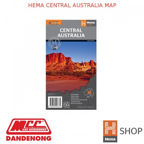
An off-road regional map of central Australia (1:2,000,000) that covers between Woomera in the south to Tennant Creek in the north, then from Windorah in the east past Yulara to the Warakurna Roadhouse in the west. On the opposite side are travel tips, photos, map coordinates and background information on outback regions including the Red Centre, East & West MacDonnell Ranges, Finke River region, around the Old Ghan, the Simpson Desert, Flinders Ranges, Corner Country, Channel Country, and Mt Isa to Tennant Creek. Central Australia's Great Trips are outlined also, with the Strzelecki Track, along the Stuart, Birdsville Track, Oodnadatta Track, Tanami Road, Sandover Highway and Plenty Highway featured. Included in each track's description is the length, longest time without fuel, facilities and a drive description.
- GPS surveyed roads and tracks
- GPS positions
- Fuel supplies
- National parks
- Camping areas
- Great Central Australia off-road trips
- Events by month
- Important contact information
Outback travel is an exhilarating and wonderful experience as it involves travel into Australia’s great semi-arid and arid regions. The vast wide open spaces, magnificent colours, expansive skies of the ‘big sky country’, panoramic displays of the stars, and the sounds of peaceful isolation and solitude are what make a desert trip. The colourful history, and interesting and big-hearted people that you will meet, make travelling the outback a heart-warming experience.
Whether it is crossing the Simpson Desert, seeing Lake Eyre or following the Canning Stock Route there are endless opportunities for exploring this stark and beautiful country. Other popular routes include the Anne Beadell and Connie Sue highways that cross the Great Victoria Desert, and the Sandy Blight Junction Track and Gunbarrel Highway through the Gibson Desert.
Outback travel requires careful preparation and planning, and travellers should never underestimate the vastness and potential threats of Australia’s desert regions. Avoid this area in the summer months when temperatures can soar to over 50°C.
| HEMA MAPS SPECIFICATIONS | |
| Availability | Available |
| Best Scale | 1:2000000 |
| Cover Size Depth (mm) | 3 mm |
| Cover Size Height (mm) | 250 mm |
| Cover Size Width (mm) | 140 mm |
| Edition Number | 10 |
| Format | Folded Map |
| Publication Date | 01/03/2013 |
| Unfolded Size Height (mm) | 700 mm |
| Unfolded Size Width (mm) | 750 mm |